
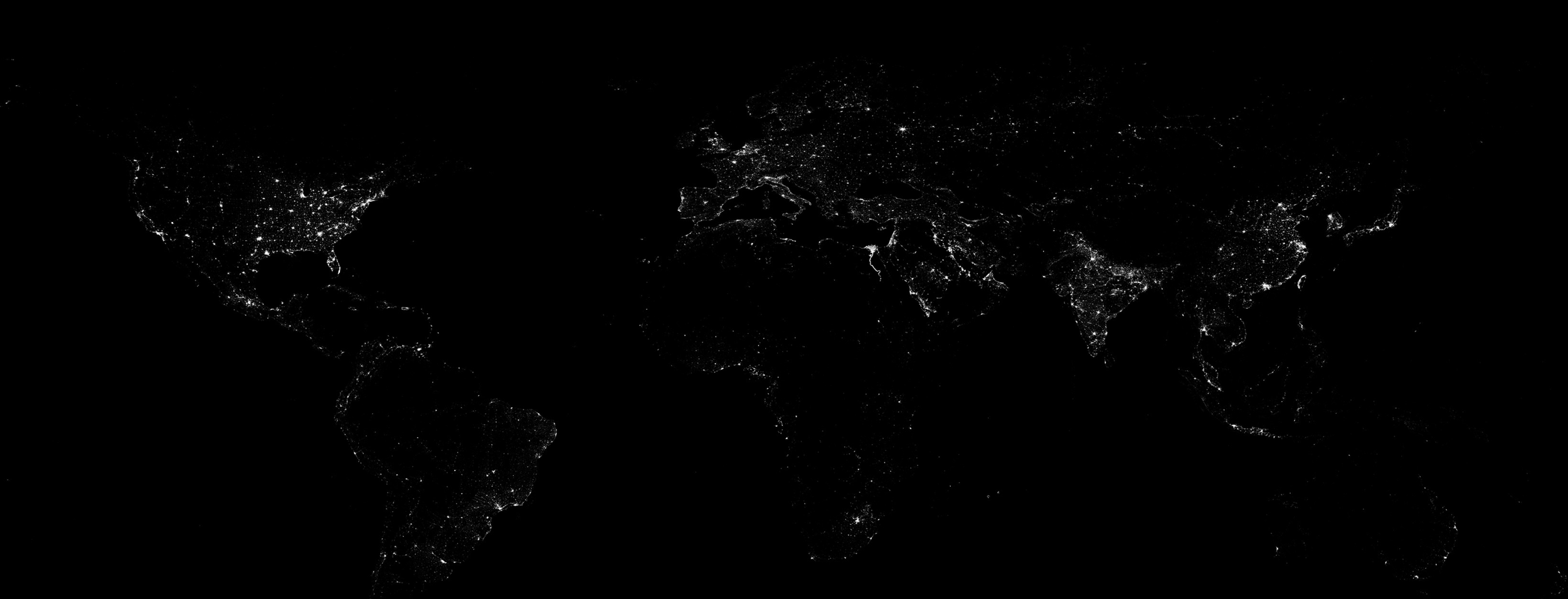
About The Geo Company
A different perspective changes everything.
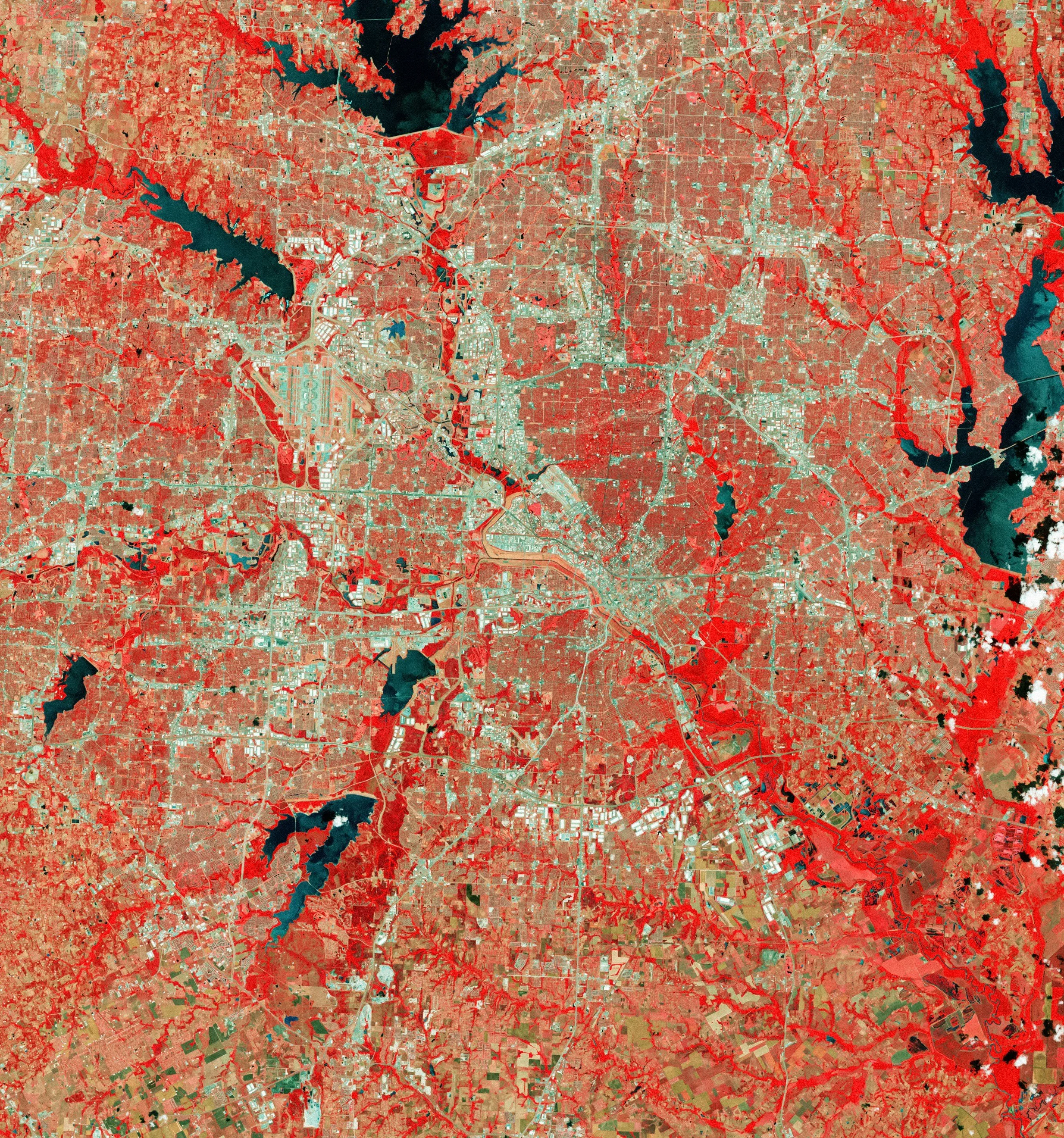
The Geo Company is an independent geospatial consultancy specialising in Earth observation, environmental intelligence and spatial data analysis.
We believe that geography provides a powerful way to understand the world's most complex challenges.
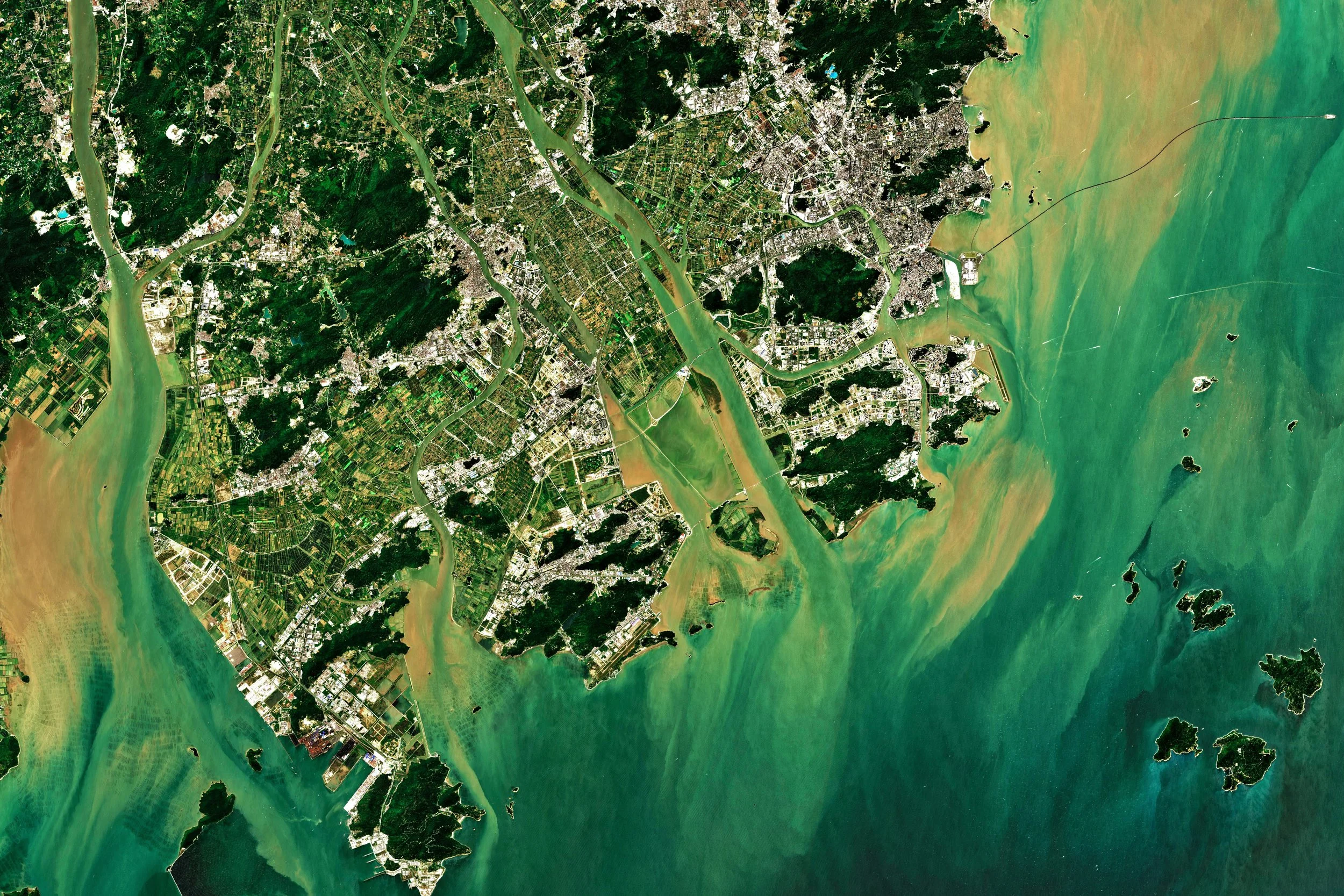
By combining satellite imagery, environmental datasets and analytical techniques, we help organisations uncover patterns, understand risks and make evidence-based decisions.
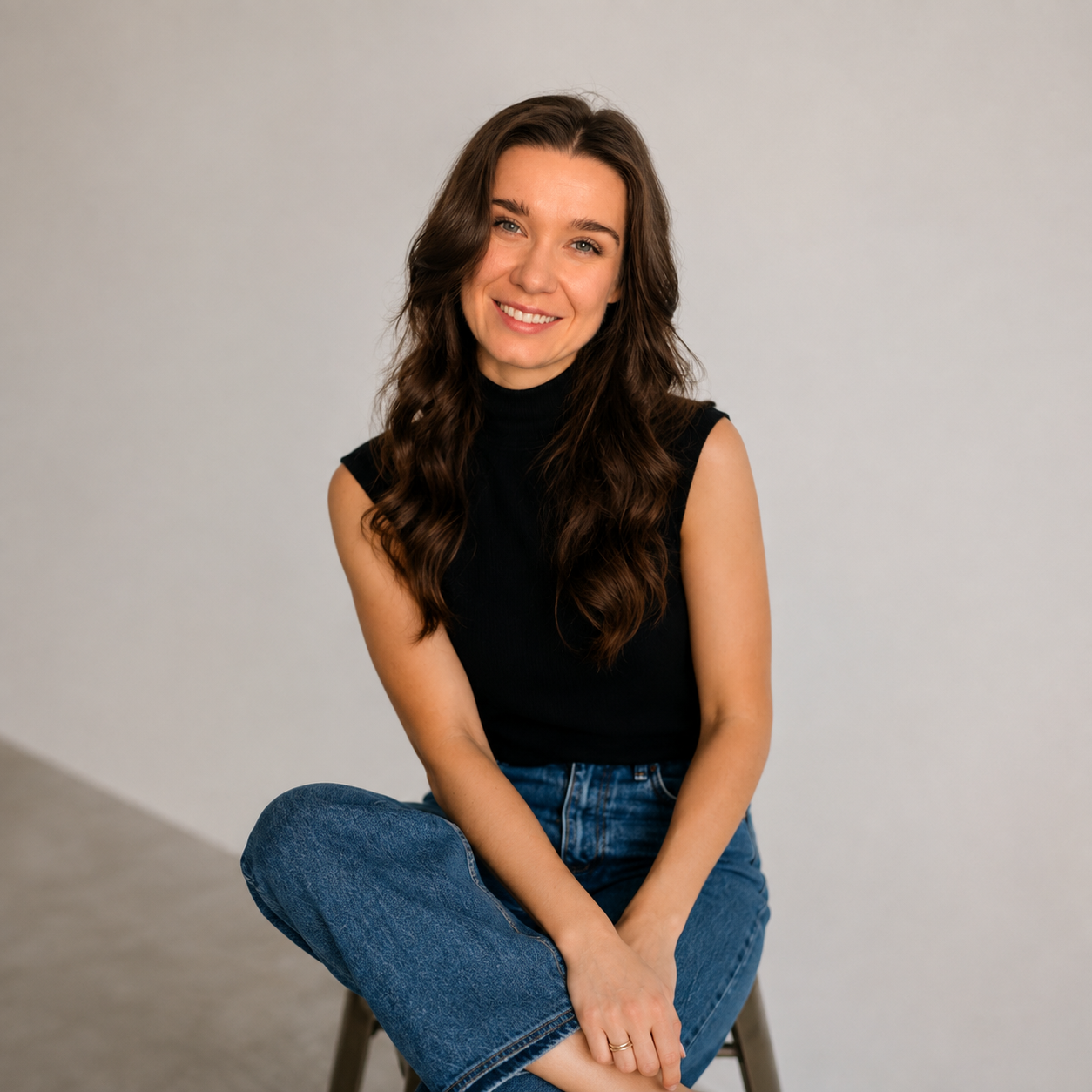
Meet the founder
The Geo Company was founded by Hattie Filby, a geospatial analyst with an MSc in Geospatial Analysis from University College London (UCL) and a BSc in Disaster Management from Coventry University.
With a background in geospatial research, data analysis and environmental analysis, Hattie combines technical expertise with creative problem-solving. Her experience spans satellite imagery, remote sensing, spatial modelling and machine learning, using tools including QGIS, ArcGIS Pro, Google Earth Engine and Python.
But behind the science is a genuine love for what she does.
"I'm still amazed by how beautiful satellite imagery can be, and even more amazed by how much information it can reveal. Almost everything has a location, and I love discovering the unexpected connections and stories hidden within that data. That's what makes geospatial analysis so exciting to me."
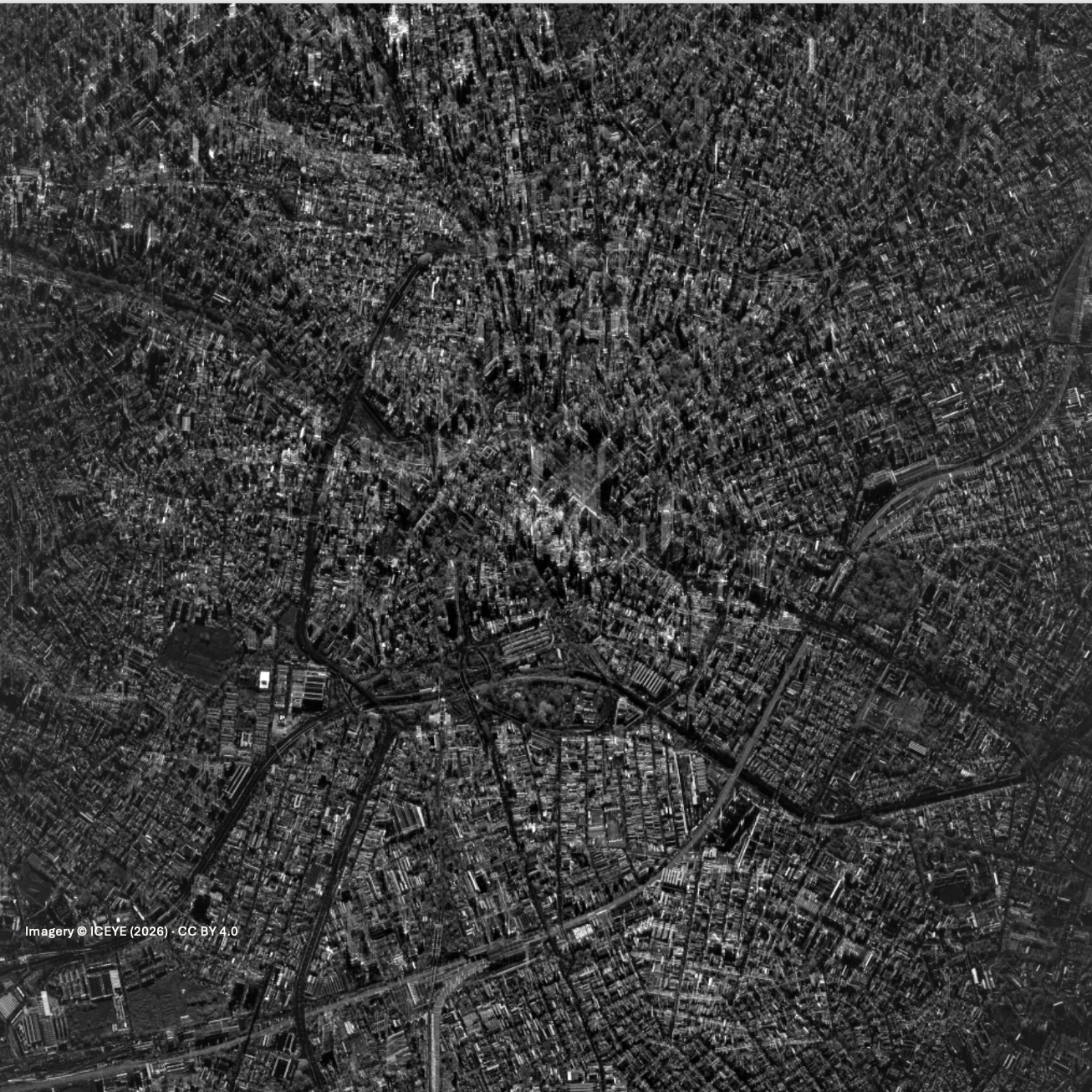
Why The Geo Company?
Independent thinking
Flexible, tailored analysis shaped around each client's questions rather than a one-size-fits-all approach.
Data-driven insight
Combining multiple independent datasets and analytical techniques to build a more complete geographical picture.
Clear communication
Making complex geographical information understandable through engaging maps, visualisations and accessible reporting.
Global perspective
Using Earth observation and global spatial datasets to investigate locations and environmental challenges around the world.
Our approach
We believe great geospatial analysis should be rigorous, transparent, useful — and beautiful.
Our work focuses on understanding the question, identifying appropriate datasets, applying robust analytical methods and communicating findings clearly.
Every map should tell a story. Every analysis should help answer a question.
Have a project in mind? Let's talk.