
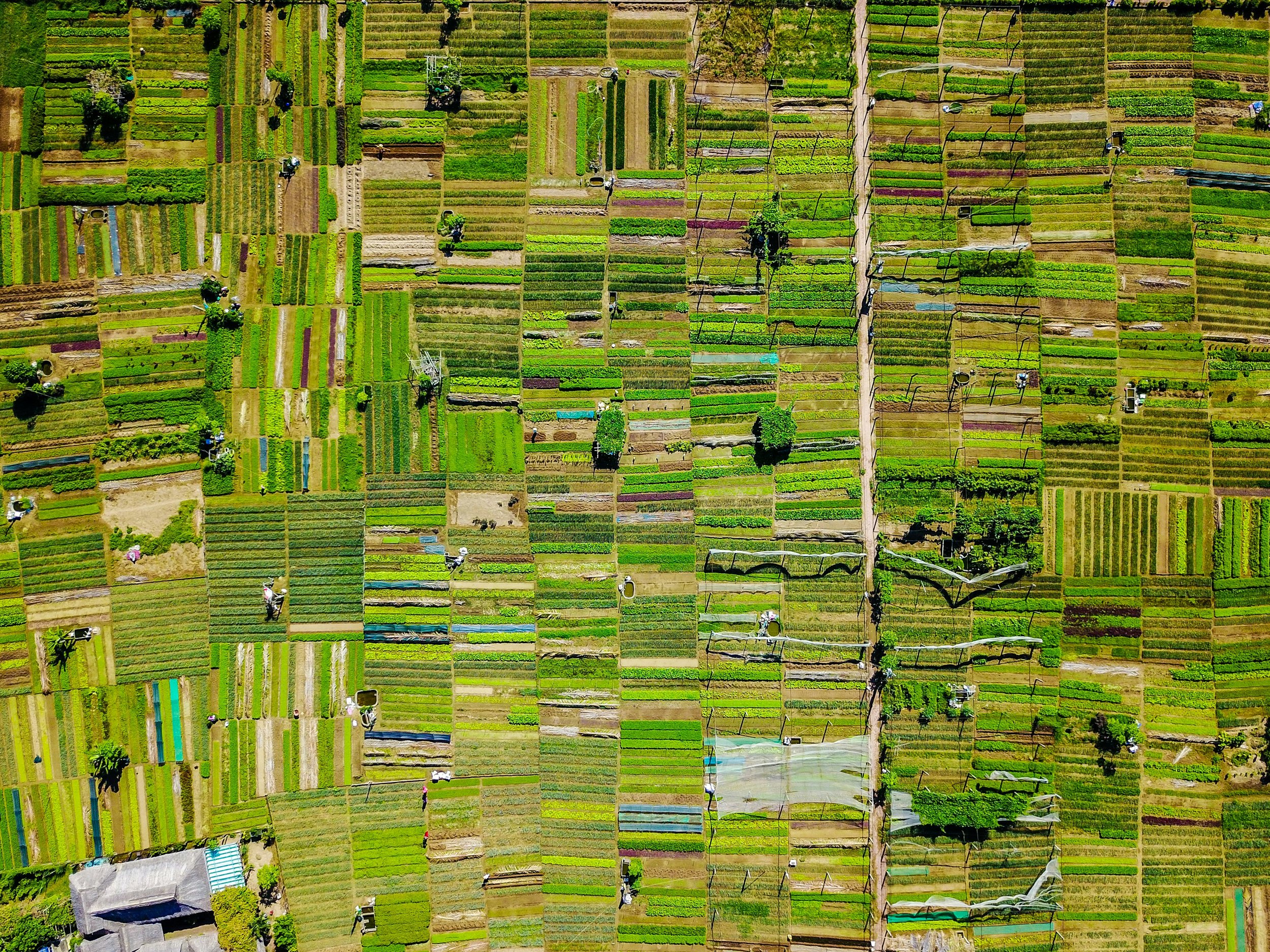
See the bigger picture.
Geospatial intelligence for a changing world.
The world is full of data. We make sense of it.
127 million GB
That's how much Earth science data NASA already holds.
And the collection keeps growing.
Forests. Water. Cities. Climate. Our planet is generating an extraordinary amount of information.
The clever bit? Turning it into answers that actually matter.
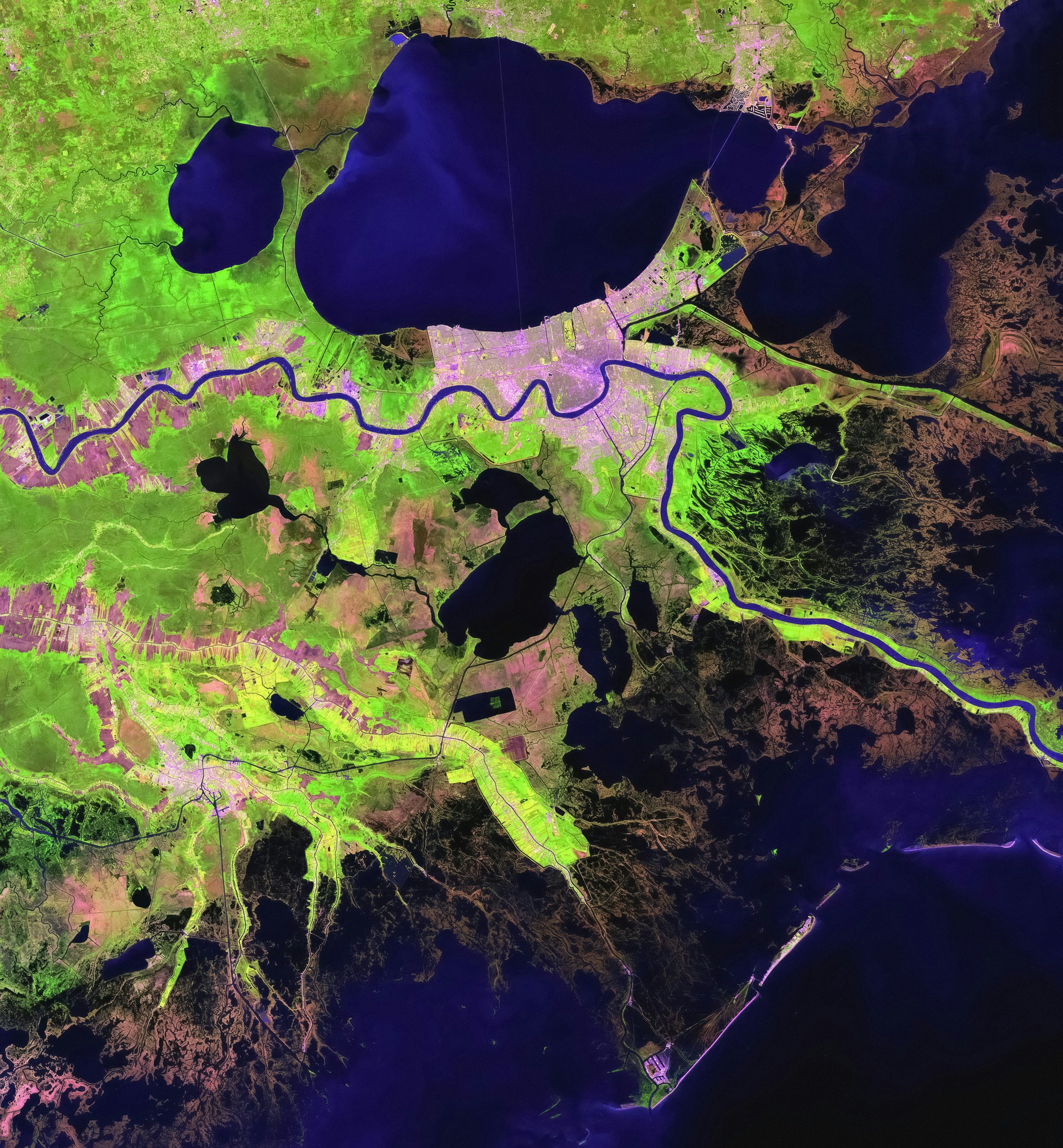
At The Geo Company, we combine satellite imagery, geospatial analysis and environmental intelligence to investigate the places that matter to you.
From supply chain due diligence and environmental assessments to site selection and ongoing monitoring, we turn complex geographical data into insights you can actually use.
What we do
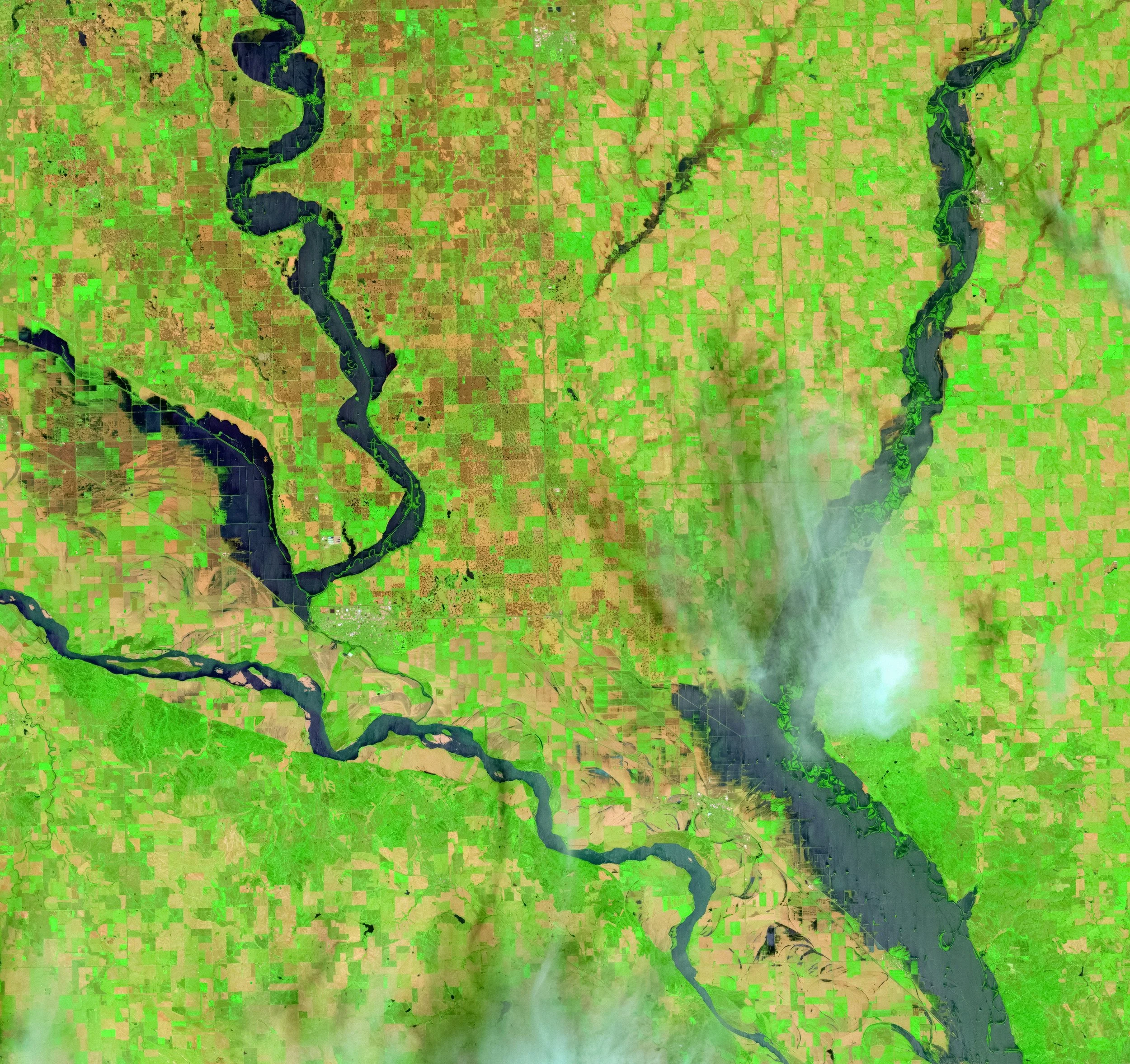
Environmental Intelligence
Understand environmental conditions, identify potential risks and monitor changes across landscapes, ecosystems and natural resources.
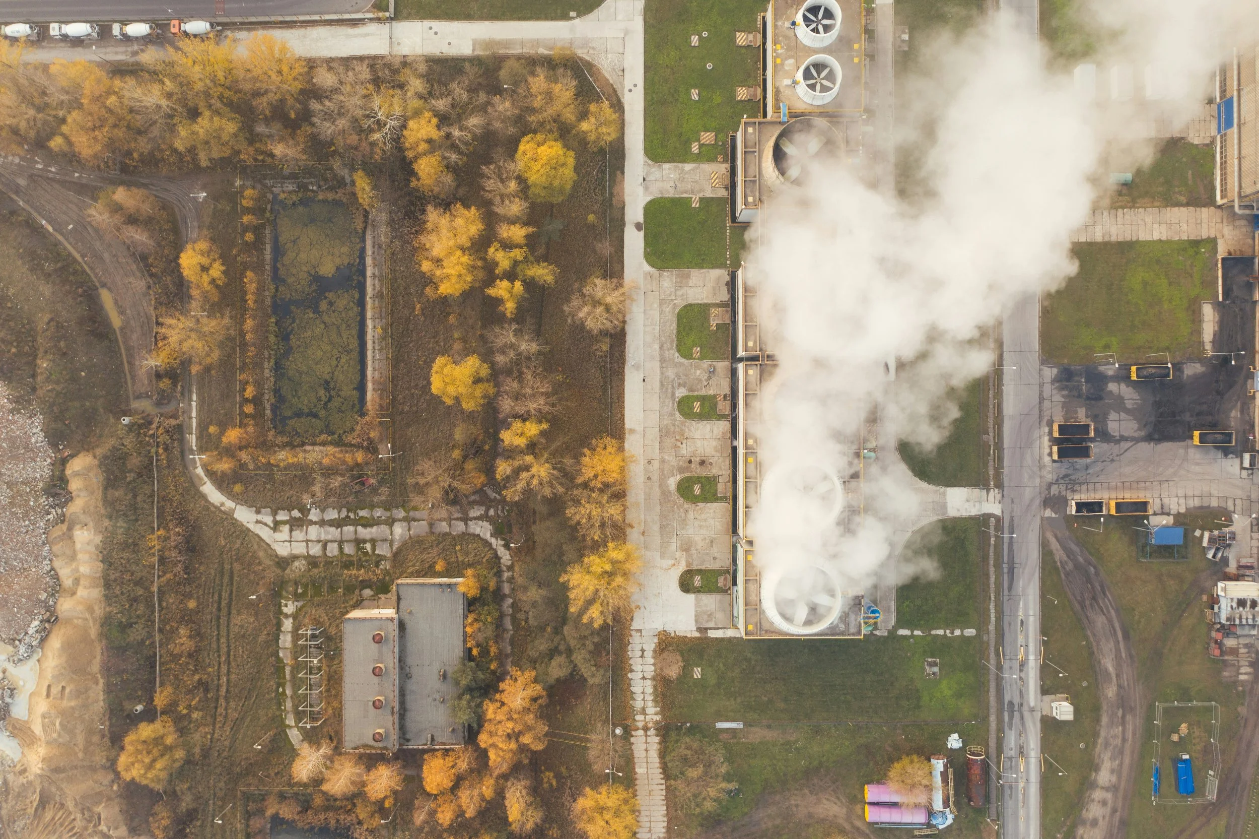
Supply Chain Intelligence
Explore the geographical context of suppliers and facilities, including environmental exposure, surrounding land use, infrastructure and connectivity.
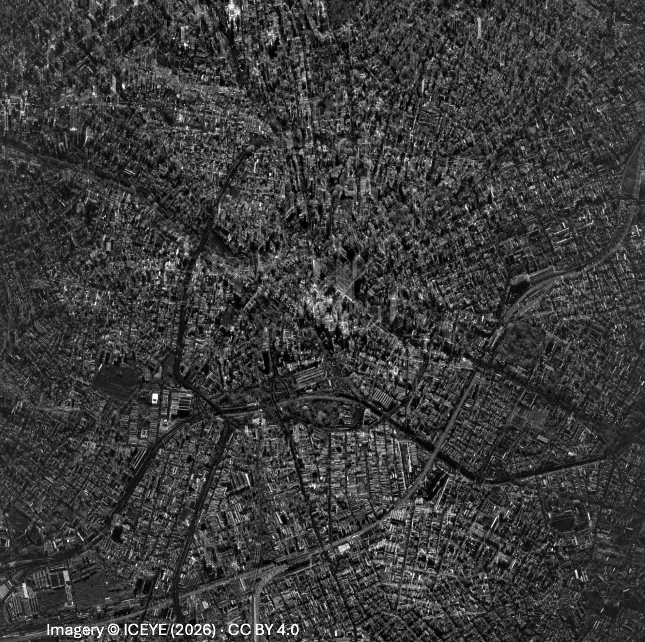
Satellite Monitoring & Change Detection
Track how locations evolve over time using satellite imagery, spatial datasets and repeatable analytical methods.
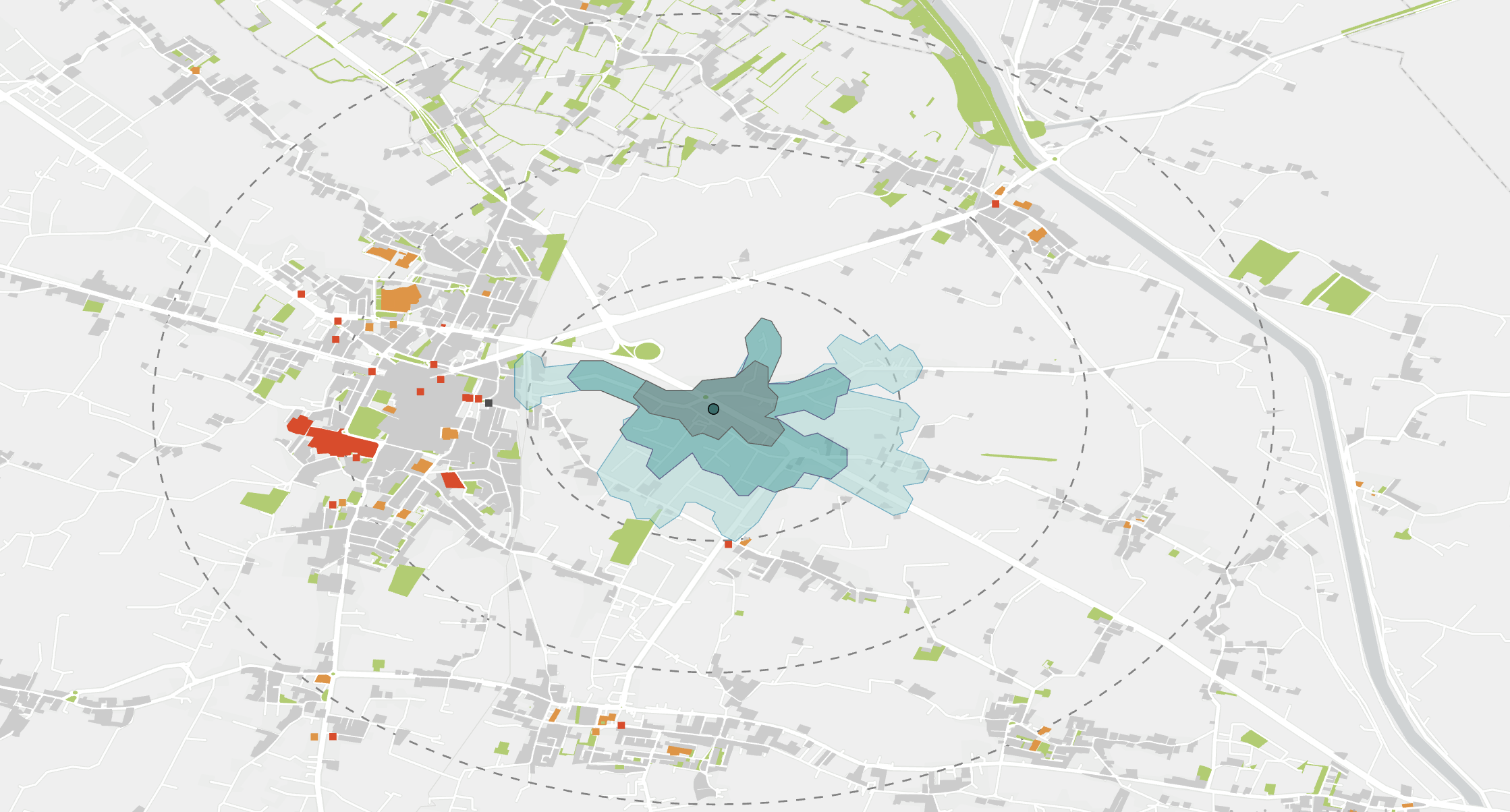
Custom Geospatial Analysis
From interactive maps and spatial modelling to automated workflows and bespoke research, we develop solutions around your questions.
Turns Out, Location Matters More Than You Think.
Every factory, supplier, investment and project exists somewhere.
But an address only tells you where something is. It doesn't tell you what's happening around it, how it's connected to the wider world or how that place is changing.
And sometimes, those are the details that make all the difference.
Your project just met its peopleFill the blanks, hit send, breathe easy. A real human named Hattie reads every word and replies within three business days—faster if caffeine cooperates. Grand vision or tiny tweak, we treat it like front-page news.