
LEVEL 01 · RAPID SCREENING
GeoScreen
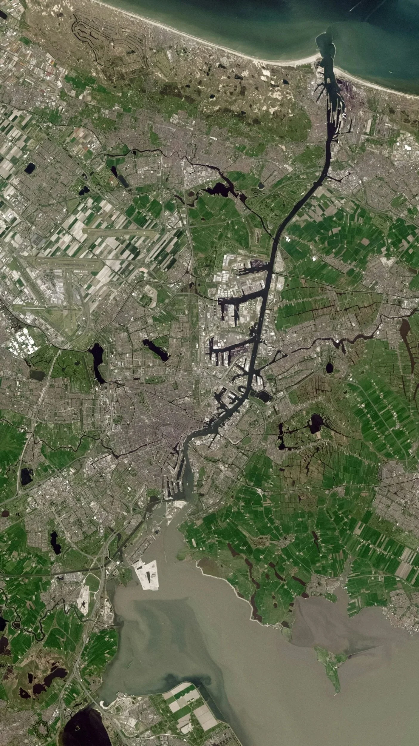
A little location intelligence goes a long way.
Rapid environmental and location intelligence.
GeoScreen provides an initial assessment of a location, bringing together satellite imagery, environmental datasets and spatial analysis to identify potential risks, sensitivities and opportunities.
Whether you're screening a supplier, assessing a factory or considering a new investment, GeoScreen helps you understand what's happening around a location without committing to a lengthy investigation.
GeoScreen brings together 21 environmental and geographical indicators, alongside satellite imagery, to build a comprehensive picture of a location and its surroundings.
What can GeoScreen include?
Biodiversity: Protected areas, Key Biodiversity Areas and sensitive habitats.
Forests: Tree cover, intact forest landscapes and potential deforestation pressures.
Water: Water stress, drought exposure, flood risk and initial water-condition indicators.
Climate: Exposure to flooding, drought, wildfire and other relevant hazards.
Land cover: Surrounding land use, vegetation condition, agricultural activity and urban development.
Community: Nearby settlements, healthcare, education, green space and infrastructure.
Location overview: Satellite imagery, facility context and proximity to relevant environmental features.
What questions can it answer?
Are my suppliers located in environmentally sensitive areas?
Which facilities may be exposed to flooding or water stress?
Are there forests or protected habitats near my sourcing locations?
Which sites should I investigate further?
What potential risks might I be overlooking?
Every GeoScreen comes with a comprehensive Reference Guide explaining each indicator, the data sources, how results are calculated and what the findings mean — including any limitations. No guesswork, just clear and transparent analysis.
Why it's useful
GeoScreen helps you identify potential concerns early, compare locations consistently and focus your resources where further investigation is most valuable.
Best for: Supplier screening, initial environmental due diligence, site assessments and large portfolios of locations.
The outcome: A concise, visual screening report with maps, key findings and clearly explained areas of potential concern.
Assessing multiple locations? We'll also include a complimentary portfolio overview, bringing your locations together in one map and summary to help you compare findings and identify priorities across your portfolio.
From £450 per location