
LEVEL 02 · DETAILED ANALYSIS
GeoProfile
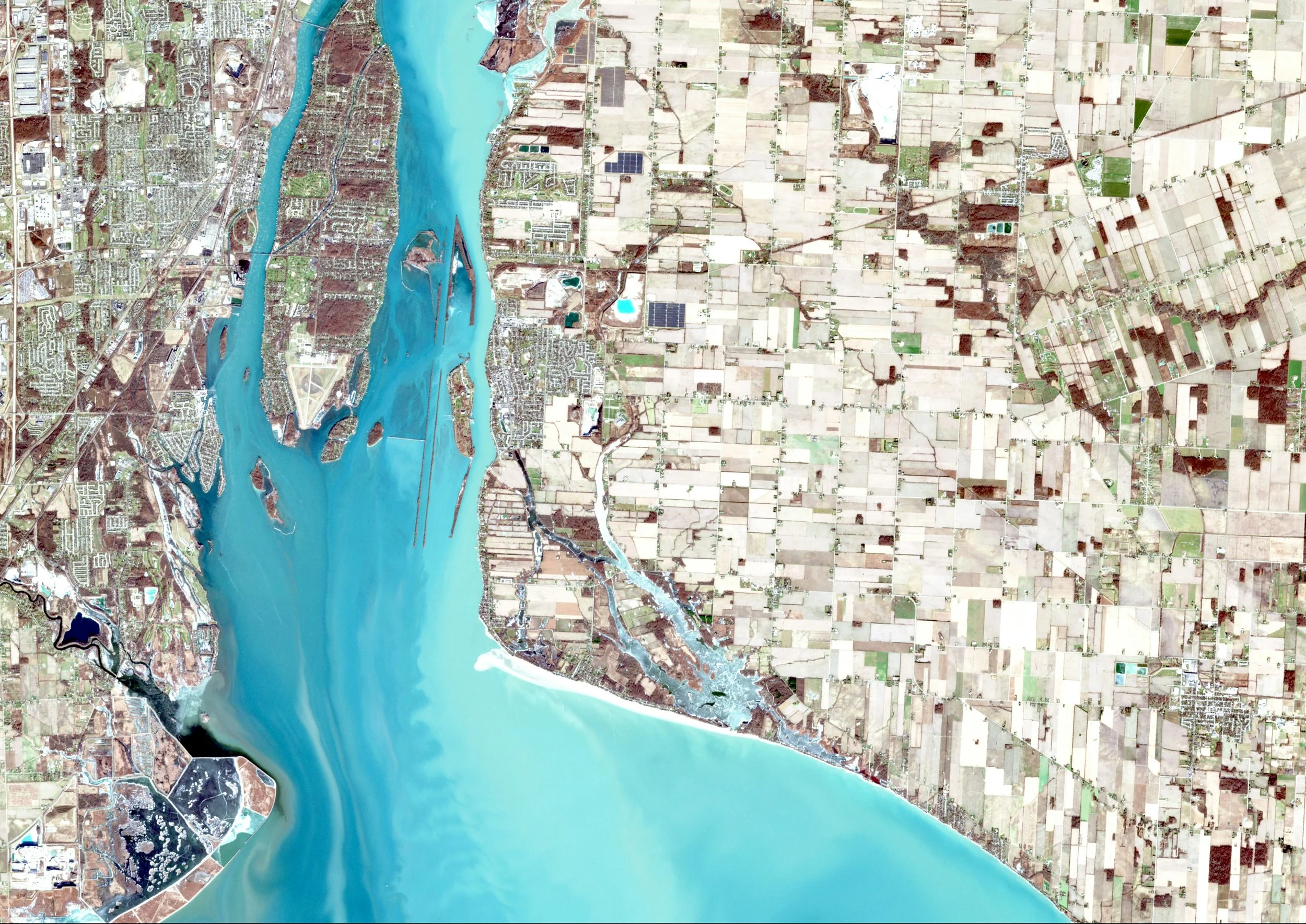
A little location intelligence goes a long way.
Detailed environmental and geographical investigations.
GeoScreen tells you where to look. GeoProfile helps you understand what you're looking at.
Using satellite imagery, historical datasets and advanced geospatial analysis, we investigate individual locations or environmental issues in greater detail.
From deforestation and water conditions to industrial expansion and community accessibility, GeoProfile provides a deeper evidence base for decisions that matter.
What can GeoProfile include?
Deforestation assessments: Historical tree-cover change, fragmentation, forest connectivity and surrounding development pressures.
Water assessments: Water-body change, satellite-derived turbidity and chlorophyll indicators, upstream and downstream context and surrounding land use.
Landfill investigations: Identification of potential disposal sites, site expansion, surrounding land-use change and environmental sensitivities.
Wildfire assessments: Historical fire activity, burn scars, vegetation recovery and exposure of nearby assets.
Land-use change: Urban expansion, agricultural conversion, vegetation loss and infrastructure development.
Community accessibility: Road and pedestrian network analysis, service accessibility and potential infrastructure gaps.
Facility investigations: Physical expansion, changes in surrounding activity and environmental context.
What questions can it answer?
Has deforestation increased around my sourcing locations?
Are water conditions changing near a textile facility?
Has a landfill expanded, and what sensitive environments are nearby?
How has a wildfire affected the surrounding landscape?
Can workers realistically reach essential community services?
What has changed around this factory over the past five years?
Why it's useful
GeoProfile helps businesses move beyond initial risk indicators and investigate specific concerns using geographical evidence.
It can support supplier engagement, environmental due diligence, sustainability reporting and decisions about where further investigation or on-the-ground verification may be needed.
Best for: Detailed supplier investigations, environmental assessments, sustainability evidence and complex site-specific questions.
The outcome: A detailed analytical report with satellite comparisons, maps, quantitative findings, interpretations and supporting evidence.
Assessing multiple locations? We'll also include a complimentary portfolio overview, bringing your locations together in one map and summary to help you compare findings and identify priorities across your portfolio.
From £900 per location