
LEVEL 03 · ONGOING MONITORING
GeoMonitor
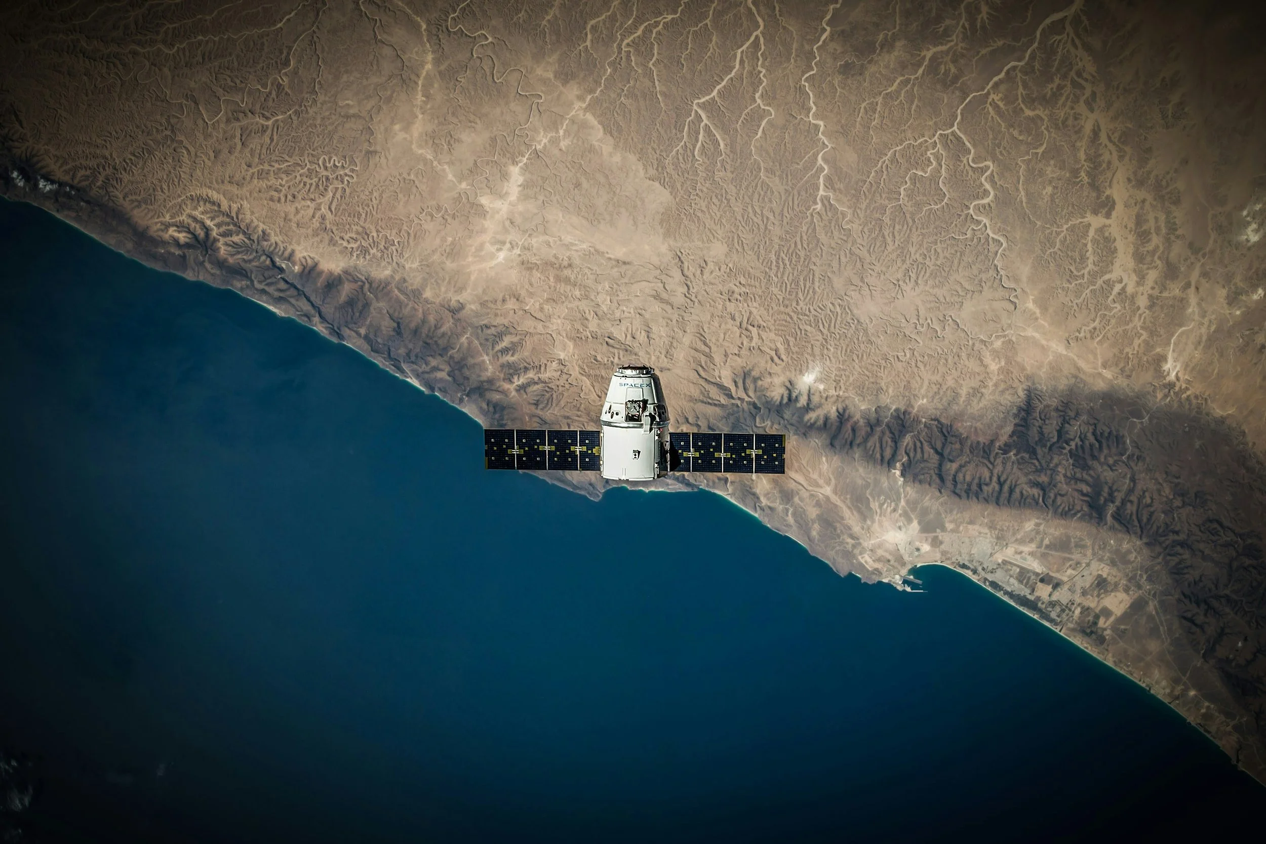
Because the world doesn't stand still.
Ongoing satellite and environmental change monitoring.
A location might look very different today than it did six months ago.
Forests disappear. Industrial sites expand. Land use changes. Fires occur. New developments appear.
GeoMonitor helps you keep track of the places that matter, using repeat satellite observations and geospatial datasets to identify and investigate changes over time.
What can GeoMonitor include?
Recurring deforestation and vegetation-change assessments.
Land-use change and new development detection.
Monitoring of water extent and selected water-condition indicators.
Landfill expansion and surrounding land-use change.
Wildfire occurrence and post-fire vegetation recovery.
Changes around factories, suppliers and sourcing regions.
Portfolio-level monitoring and prioritisation.
Scheduled reporting and alerts for agreed, detectable changes.
What questions can it answer?
Have forests disappeared near my suppliers since our last assessment?
Has a factory or industrial area expanded?
Are new developments appearing around environmentally sensitive sites?
Has a landfill increased in size?
Which locations have experienced significant changes this quarter?
Can I receive updates without commissioning a completely new investigation each time?
Why it's useful
GeoMonitor helps organisations move from one-off assessments towards continuous awareness.
Rather than relying on information collected at a single point in time, you can track change, identify emerging concerns and decide when closer investigation is needed.
Best for: Supply chain monitoring, environmental oversight, portfolio management and long-term sustainability programmes.
The outcome: Recurring monitoring reports, change maps, time-series analysis and optional alerts tailored to your priorities.
From £450 start up and £300 per monitoring cycle per location